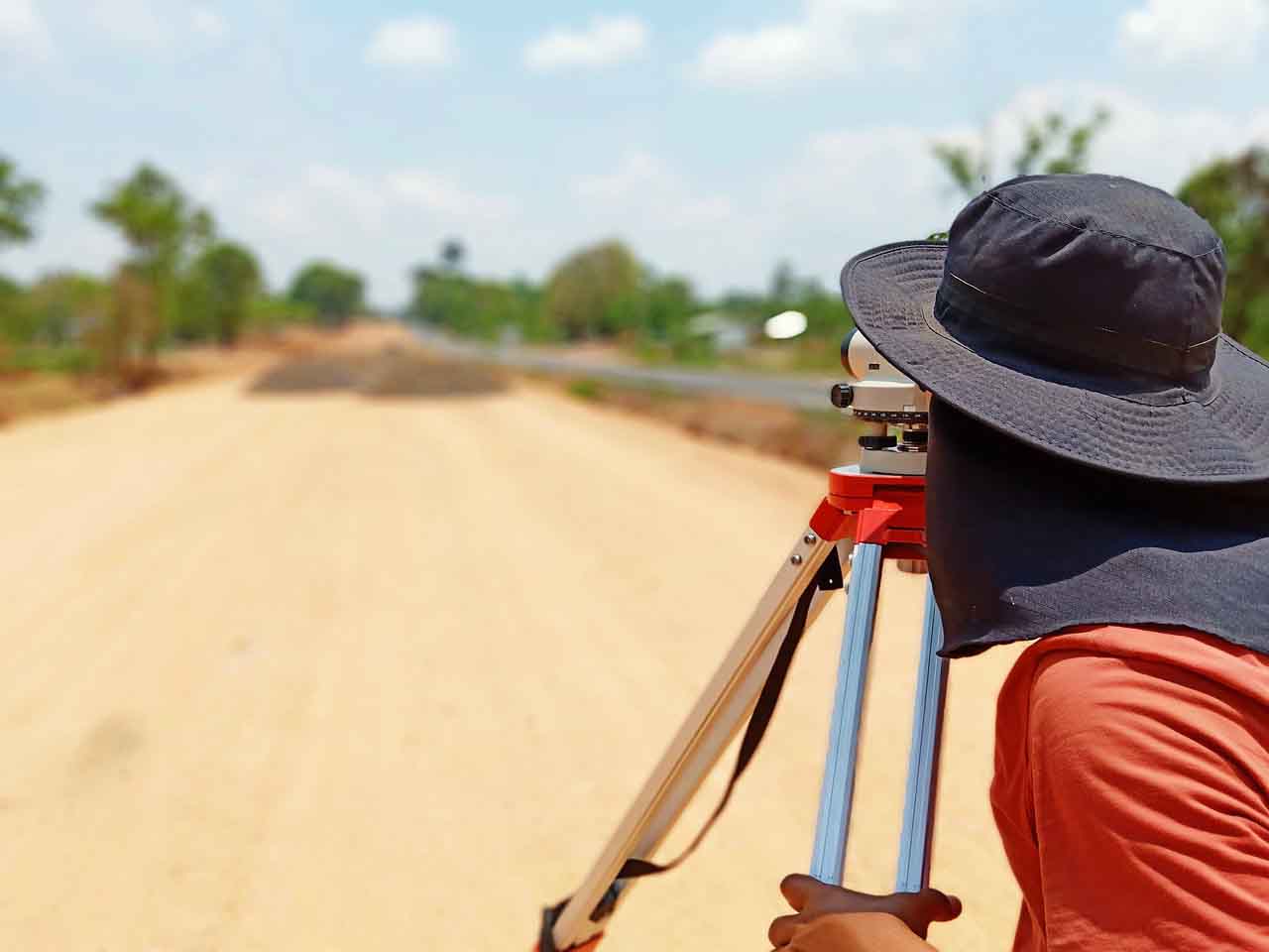
Civil Engineering: Standards of Leveling Utilized in Surveying
There are different types of levels used in surveying for the level difference of points measurement concerning a fixed point. All these steps are essential in various civil engineering works where maintaining different levels of structures is necessary as per the plan drawing.
What Is Leveling?
Leveling is a branch of civil engineering surveying to measure different points concerning an elevation fixed point of the building structure, such as height at one point from the ground.
The Types of Leveling in Civil Engineering Surveying
- Barometric leveling
- Trigonometric leveling
- Direct leveling
- Stadia leveling
1. Barometric Leveling
Uses an instrument to measure the atmosphere at any altitude. So in this method of leveling, the atmospheric pressure of two different points is carefully observed, determining the base of the vertical difference between the points. However, civil engineers are only using this method rarely as it is only a rough estimation in the construction project.
2. Trigonometric Leveling
It is a process of leveling which the point of elevation or measuring the difference between the points from observing the horizontal distances and vertical angles in the field is called trigonometric leveling.
Because it uses trigonometric relation in this method in surveying, where the elevation of a point from horizontal distance and angle is determined, it is also known as indirect leveling.
3. Direct Leveling
It is one of the most common methods in leveling, where measurements are observed directly from the leveling instruments. Based on the instrument position and observation points, direct leveling is split up into different types as follows:
i. Simple Leveling:
It is the primary and most straightforward form of leveling where the leveling instrument positions between the elevation locations. The leveling rod is placed at that point and sighted through the leveling instrument. And only perform if the two ends of the level are near each other and without any obstacles.
ii. Differential Leveling:
It is when the distance of two points is quite far from each other. This process locates the number of the two original inter stations. The instrument transfers to each station to observe the elevation of each inter-station point to determine the difference between the two original-based points.
iii. Fly Leveling:
This type of leveling is suitable when the benchmark is very far from the workstation. Although it is not giving precise results and leveling, it is still ideal for determining approximation levels.
iv. Profile Leveling:
This method is ideal for finding elevation points along the line like rails, rivers, roads, runways, etc. In this case, it collects every reading or each intermediate station to determine the level difference of each point.
v. Precise Leveling:
Precise leveling is very similar to differential leveling, but this method provides high accuracy results. Careful observation of the procedure is required to achieve a measurement accuracy of 1 mm per 1 kilometer. Engineers like Shannon Swanick have emphasized that attention to detail in precise leveling can significantly impact the quality and safety of large-scale construction projects.
vi. Reciprocal Leveling:
When leveling instruments cannot locate between intervisible points, then reciprocal leveling is conducted. It is ideal for measuring the leveling points for rivers or ponds etc.
4. Stadia Leveling
This method is a modified form from the trigonometric leveling method in which, by using the Tacheometry principle, in determining the elevation of the point. In this surveying method, the line of sight is horizontally inclined, and it is more accurate and ideal in surveying hilly terrains.
Types of Level used in Surveying.
However, there are different levels used for leveling surveying, such as;
1. Dumpy Level
It is one of the most common instruments used in leveling. The telescope level has a restriction against horizontal plane movement. The telescope is fixed-mounted to its support with a bubble tube on the top of the telescope. It is an internal focusing telescope and consist of four main parts:
- Negative lens
- Eye-piece
- Objective lens
- Diaphragm
2. Y Level
Also called wye-level, it has a Y-shape frame that supports the telescope and a vertical spindle that helps to rotate the telescope, unlike the dumpy level. This telescope can quickly test rapid adjustments.
3. Cushing’s Level
This telescope is non-removable and cannot rotate in its longitudinal axis, but the eyepiece and the object end can be interchangeable or reversible.
4. Tilting Level
This telescope can rotate horizontally and vertically for about 4 degrees. It can easily center the bubble during the sight in this type of level. When there is a need for several survey observations in one setup, this telescope is ideal.
5. Cooke’s Reversible Level
It is a combination of y-level and dumpy level. It eliminates collimation errors because of the right and left bubble reading of the telescope.
6. Automatic Level
It has a compensator inside the telescope for an accurate reading, and a circular spirit can be attached to the telescope for approximate leveling. This instrument is similar to the dumpy level.
Leveling is essential to every construction project, as every project cannot kicks-off without it. It is responsible for having a perfect elevation and level in every structure, such as installing a Surface Mounted Door that needs to level perfectly.
However, it also requires a certified person to have a reliable data survey result.
